Wolfram Data Repository
Immediate Computable Access to Curated Contributed Data
Lands owned or administered by the Federal government
Originator: National Atlas of the United States
The Federal Lands of the United States map layer shows those lands owned or administered by the Federal Government, including the Bureau of Land Management, the Bureau of Reclamation, the U.S. Department of Agriculture Forest Service, the Department of Defense, the U.S. Fish and Wildlife Service, the National Park Service, the Tennessee Valley Authority, and other agencies. Only areas of 640 acres or more are included. Descriptive information includes the name and type of the Federal land and the administering agency. There may be private inholdings within the boundaries of the Federal lands in this map layer.
Retrieve the resource:
| In[1]:= |
| Out[1]= |  |
Retrieve the default content:
| In[2]:= |
| Out[2]= |  |
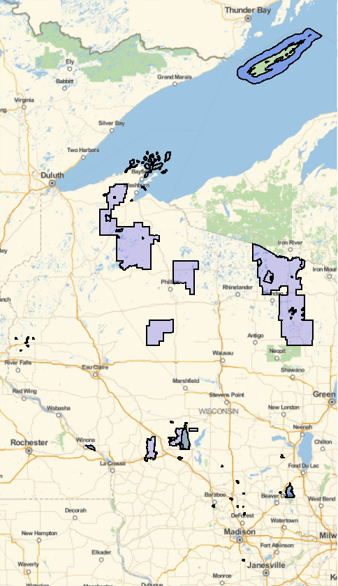
View Federal lands in the state of Wisconsin:
| In[3]:= | ![GeoGraphics[{EdgeForm[Black], FaceForm[Blue], Select[ResourceData[
"Federal Lands of the United States"], #State == Entity["AdministrativeDivision", {"Wisconsin", "UnitedStates"}] &][All, #Polygon &]}]](https://www.wolframcloud.com/obj/resourcesystem/images/a61/a61a2bb3-e344-4e8f-84df-80f719e2a4b8/5eca67b7047a36de.png) |
| Out[3]= |  |
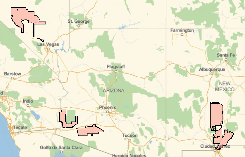
Find the 5 largest plots of land administered by the Department of Defense:
| In[4]:= | ![GeoGraphics[{EdgeForm[Black], FaceForm[Red], TakeLargestBy[
Select[ResourceData[
"Federal Lands of the United States"], #LandOwnerType1 == "DOD" &], #Area &, 5][All, #Polygon &]}]](https://www.wolframcloud.com/obj/resourcesystem/images/a61/a61a2bb3-e344-4e8f-84df-80f719e2a4b8/55e0183a54ba2357.png) |
| Out[4]= |  |
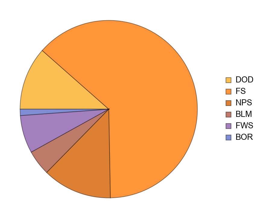
Visualize the departments overseeing Federal lands in Utah:
| In[5]:= | ![PieChart[Select[
ResourceData[
"Federal Lands of the United States"], #State == Entity["AdministrativeDivision", {"Utah", "UnitedStates"}] &][
All, #LandOwnerType1 &] // Counts, ChartLegends -> Automatic]](https://www.wolframcloud.com/obj/resourcesystem/images/a61/a61a2bb3-e344-4e8f-84df-80f719e2a4b8/4238c9b753bca685.png) |
| Out[5]= |  |
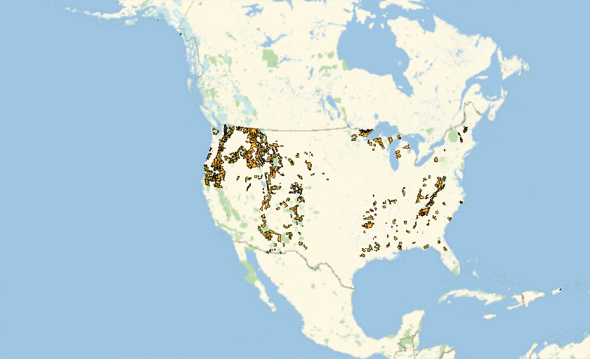
Draw a map of National Forests:
| In[6]:= | ![GeoListPlot[
Select[ResourceData[
"Federal Lands of the United States"], #LandType1 == "National Forest" &][All, #Polygon &]]](https://www.wolframcloud.com/obj/resourcesystem/images/a61/a61a2bb3-e344-4e8f-84df-80f719e2a4b8/139011bc26a7bc52.png) |
| Out[6]= |  |
Wolfram Research, "Federal Lands of the United States" from the Wolfram Data Repository (2019) https://doi.org/10.24097/wolfram.45884.data