Wolfram Data Repository
Immediate Computable Access to Curated Contributed Data
Classify the type of land surface of a scene photographed by the Landsat MSS satellite given four digital images of the scene taken in different spectral bands
One frame of Landsat MSS imagery consists of four digital images of the same scene in different spectral bands. Two of these are in the visible region (corresponding approximately to green and red regions of the visible spectrum) and two are in the (near) infrared. Each pixel is an 8-bit binary word, with 0 corresponding to black and 255 to white. The spatial resolution of a pixel is about 80mx80m. Each image contains 2340x3380 such pixels.
The database is a (tiny) subarea of a scene, consisting of 82x100 pixels. Each line of data corresponds to a 3x3 square neighborhood of pixels completely contained within the 82x100 subarea. Each line contains the pixel values in the four spectral bands (converted to ASCII) of each of the 9 pixels in the 3x3 neighborhood and a number indicating the classification label of the central pixel.
The data is given in random order, and certain lines of data have been removed so you cannot reconstruct the original image from this dataset.
In each line of data, the four spectral values for the top-left pixel are given first followed by the four spectral values for the top-middle pixel and then those for the top-right pixel and so on with the pixels read out in sequence left-to-right and top-to-bottom. Thus, the four spectral values for the central pixel are given by attributes 17, 18, 19 and 20. If you like, you can use only these four attributes while ignoring the others. This avoids the problem that arises when a 3x3 neighborhood straddles a boundary.
Retrieve the resource:
| In[1]:= |
| Out[1]= | 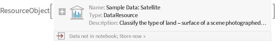 |
Retrieve the default content:
| In[2]:= |
| Out[2]= |  |
Train a classifier:
| In[3]:= |
| Out[4]= | 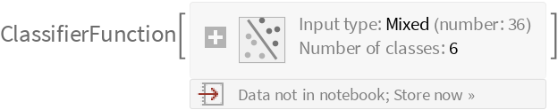 |
Obtain general information about the classifier:
| In[5]:= |
| Out[5]= | 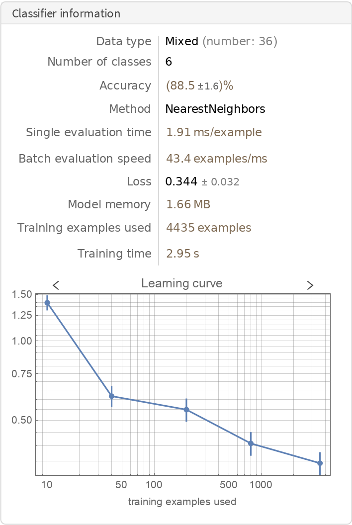 |
Visualize the accuracy of the classifier:
| In[6]:= |
| Out[7]= | 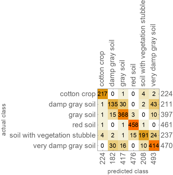 |
Wolfram Research, "Sample Data: Satellite" from the Wolfram Data Repository (2019)